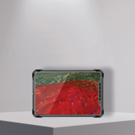
COMMAND CONTROL CENTER
Command Control Center - distributed system for combat/operations control and tracking the actions of own and enemy forces.
- Shorten the decision-making cycle
- Reduce the possibility of errors
- Ensure detailed familiarity with the situations
- Visualize manoeuvrability of own and the enemy forces
- Implement technological solutions into the battlefields
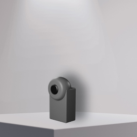
EMERGENCY EVACUATION MEDICAL DEVICE
The device locates the position of injured persons, soldiers and relocated info (e.g. wounded body part, injections, etc) on the command control center.
Technical Specifications
| Weight | 0.05 kg |
| Radio Frequency(RF) | 868MHz |
| Accuracy | ± 5 m |
| Size | 50 x 80 x 35 mm |
| Support | GPS, GLONASS |
| Connection | Bluetooth, WiFi, LoRa |
| Range of operations | Up to 15km |
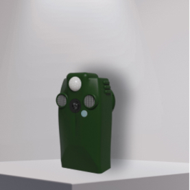
MONITORING DEVICE
The solar-powered monitoring device can detect motion and transmit captured images to a command and control center. It also features air quality sensors, microphones, and smoke detectors. Additionally, it has the capability to activate specific outputs, such as triggering explosives or other external devices, when programmed to do so, for instance in respone to motion detection.
Technical Specifications
| Camera view angle | 70° |
| Sound detection | Up to 100 m |
| Smoke detection | 20-25 m |
| Movement detection angle | 120° |
| Movement detection distance | Up to 30 m |
| Camera type | Night and day vision |
| Wireless network interfaces | 3G, WiFi, LoRa |
| Power | Powered by the solar panel. Alone battery itself is able to provide power for 10 days. 1 hour sun a day ensures the device to provide power for 24 hours |
3D/REAL-TIME ENVIRONMENT SIMULATOR
For cost police and command control centers for real time environment, simulations and personnel training.
Technical Specifications
- 2000+ behavioral objects modeled
- Real world weather, physics, day and night time modeling logic
- Integration with actual field devices for use in visualization
- Development of 3D visualization and simulation covering 10,000 square km of land and sea terrain.
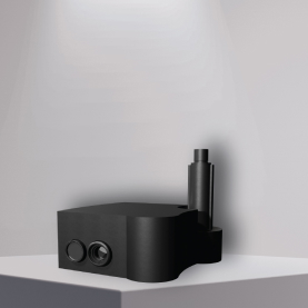
GROUND MONITORING STATION
A thermal camera capable of detecting tiny differences in temperature and with AI inside to detect and classify objects.
Technical Specifications
| Weight | 3.25 kg |
| Size | 200 x 200 x 80 mm |
| Thermal Sensitivity | 50 mK |
| Spectral Band | 7.5 - 13.5 µm |
| Sensor frequency range | 0.10 kHz |
| ViRGBsible Camera FOV | 56° x 45° |
| RGB Sensor Resolution | 4000 x 3000 |
| Thermal Frame Rate | 8.33 Hz / 30 Hz |
| Thermal Sensor Resolution | 640 x 512 |
| Sensor type | Uncooled Vox Microbolometer |
| Thermal Lens | 13 mm: 45° x 37° / 19 mm: 32° x 26° / 25 mm: 25° x 20° |
| Accuracy | +/- 5 C or 5% of readings in the -25°C to +135°C range+/- 20 C or 20% of readings in the -40°C to +550°C range |
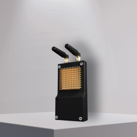
MULTIPURPOSE RADIO MODEM
The radio modem intended to provide high quality and secure RF link between parties(tablets, devices and command control center). Also possible to setup network with repeaters with capability of detection nodes position with 30-50 m.
Technical Specifications:
| Encryption | AES |
| Frequency hopping | Yes(Up to 1000 hops) |
| Data Rate | Up to 2.4 Mb/s |
| Working frequency band | UHF 300-1.1GHz |
| Working frequency band | UHF 300-1.1GHz |
| Modulations | 2/4FSK, OQPSK, BPSK, 16,64QAM |
| Advantages | The module provides a reliable transparentRF link that can be used for UAV control, data transfer and also in any application requiring secure, robust jamming proof data transmission |
TACTICAL TABLETS
Rugged Tablet designed for special operations and commanders. On Android operating system it has extra security modules and integrated software for connecting with command control center.
Technical Specifications
| RAM | 4 GB + |
| ROM | 64 GB + |
| Charger | Quick Charge 3.0 or higher |
| Operating system | Android 10.0 |
| Micro SD maximum | 512 GB |
| CPU | Qualcomm MSM8953, 8 core, 2GHz |
| I/O port | RJ45, Mini HDMI, USB 3.0, Type C, DC |
| Display screen | 10 inch, LCD screen, 1920 x 1200 IPS |
GUNSHOT DETECTION SYSTEM
GDS-360 is an acoustic fire control system. It is designed to detect and classify sound realtive horizantal position (azimuth) and elevation. Works for calibers 5.45, 5.65, 7.62, 9.00, 12.7. 2.
Technical Specifications:
| Weight | 4 kg |
| Microphones array step size | 60 mm |
| Number of sub-arrays | 5 |
| Sensor frequency range | 0.10 kHz |
| Number of sensors per sub array | 16 |
| Beam-forming optimal frequency | 2.5 kHz |
| Dimensions of cover | 350 x 350 x 132 mm |
| Array to acquisition board cable length | ≤2m |
| Array dimensions (preliminary) H*W*D | 214 x 214 x 3 mm |
HUMAN VOICE BEAM - FORMING SYSTEM
Designed for filtering human voice from a noisy environment by selecting direction on the videos․ The system has a signal acquisition, processing and communication unit, which acquires raw array of acoustic signals from Microphone Array and performs beam-forming in order to spatially filter the signal only from the desired direction.
Technical Specifications
| Weight | Up to 9 kg |
| Detection distance | Up to 70 m |
| Sensor frequency range | 0.10 kHz |
| Beam steering range (Vertical) | -10° ... +10° |
| Beam steering range (Horizontal) | -30°... +30° |
| Beam-forming optimal frequency | 2.5 kHz |
| Number of microphones in array | 32 (8 x 4) |
| Dimensions (preliminary) H*W*D | 350 x 650 x 130 mm |
AUTOMATIC TRANSFER SWITCH
System switches between up to three input power lines in less than 20 millisecond.System may be used in factories, business centers, hospitals or high power infrastructures.
Technical Specifications:
| Power | Up to 750 A |
| Voltage | 220 - 380 V |
| Switching time | 20 ms |
| Power frequency | 50/60 Hz |
| Operation principle | Autonomous or/and mechanical |
| Power consumption | Indication of power consumption for each phase |
| Phase monitoring | Phase voltage, phase current, total consumption, re-phasing detection |
| Input lines | Up to 3 input power lines (three-phase) Main line, diesel generator, solar power system, accumulator etc. |
LOCAL POSITIONING SYSTEM
Local positioning system (LPS) is a RF based navigation system thatprovides location information. Works in ISM band not exceeding licensedpower to avoid certification.
Technical Specifications
| Weight | 7 kg |
| Precision | 5-7 m |
| Size | 400 x 125 x 200 mm |
| Mesh | Terrestrial mesh network |
| Distance measurement | Up to 5km |
| Position | Can be positioned on stationary beacons, cars, sea vessels, UAV and other devices |
| Wireless distance measurement system | Technology for building terrestrial mesh networks for RF based low/mid-rate data communication accompanied with local positioning system |
FACE RECOGNITION BASED SECURITY SYSTEM
Face recognition based security system is a next generation biometric access control working with AI. The device collects a set of unique biometric data of each person associated with their face and facial expression to authenticate a person. The system needs only one captured photo for further recognition. In addition 2D photos are rejected as fake.
Technical Specifications:
| Face Recognition Distance | UP to 2 meters |
| One-Capture Recognition | The system requires only one captured photo of an individual for subsequent recognition. This suggests that it can create a facial template or profile based on a single image |
| Hardware Platform | The hardware system is built on AI platforms integrated with Intel cameras, specifically the RealSense D415 and D435 cameras. These cameras are likely used to capture the facial images for recognition purposes |
| Tailgating Detection and Recognition | Tailgating refers to the unauthorized passage of individuals alongside an authorized person. The system can identify when more than one person is present within a 2m range, signaling a potential tailgating scenario |
| Tailgating Verification | The system incorporates a verification process by using a second camera positioned inside the building to verify the initial detection and recognition made by the system. This additional camera helps confirm the presence of unauthorized individuals and enhances the reliability of the tailgating detection system |
